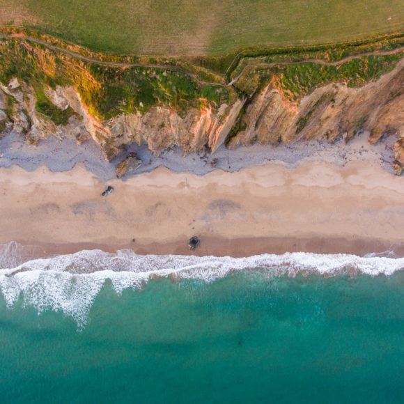
England: 10 National Parks cover 9.3% of the land area
Wales: 3 National Parks cover 19.9.% of the land area
Scotland: 2 National Parks cover 7.2% of the land area
Internationally: 113,000 National Parks and similarly protected areas cover approximately 6% of the Earth's land surface, that's about 149 million square kilometres! (Source - IUCN - International Union for Conservation of Nature).
National Park name | Area (sq kilometres) | Highest point (metres) | Coastline (kilometres) | Main settlements |
Brecon Beacons | 1344 | Pen y Fan - 886 | 0 | Brecon, Crickhowell, Gilwern and Hay |
Broads | 303 | Strumpshaw Hill - 38 | 2.7 | Stalham, Wroxham, Brundall, Acle, Loddon, Beccles and Oulton Broad |
Cairngorms | 4,528 | Ben Macdui - 1309 | 0 | Aviemore, Ballater, Braemar, Grantown-on-Spey, Kingussie, Newtonmore, and Tomintoul |
Dartmoor | 953 | High Willhays - 621 | 0 | Ashburton, Buckfastleigh, Chagford, Moretonhampstead |
Exmoor | 694 | Dunkery Beacon - 519 | 55 | Lynton, Dunster, Porlock and Dulverton |
Lake District | 2362 | Scafell Pike - 978m | 23 | Ambleside, Bowness, Coniston, Grasmere, Keswick |
Loch Lomond and the Trossachs | 1865 | Ben More - 1174 | 58 | Balloch, Callander and Tarbet |
New Forest | 570 | Telegraph Hill - 140 | 42 | Lyndhurst, Brockenhurst and Burley |
Northumberland | 1048 | The Cheviot - 815 | 0 | Hexham, Haltwhistle, Bellingham, Rothbury and Wooler |
North York Moors | 1434 | Urra Moor - 454 | 42 | Helmsley and Thornton-le-Dale |
Peak District | 1437 | Kinder Scout - 636 | 0 | Bakewell and Tideswell |
Pembrokeshire Coast | 621 | Foel Cwmcerwyn - 536 | 418 | St Davids, Tenby and Saundersfoot |
Snowdonia | 2176 | Snowdon - 1085 | 60 | Aberdyfi, Dolgellau, Trawsfynydd and Beddgelert |
South Downs | 1624 | Blackdown - 280 | 14 | Arundel, Steyning, Lewes, Midhurst and Petersfield |
Yorkshire Dales | 2179 | Whernside - 736 | 0 | Grassington, Settle, Hawes and Sedbergh |
[Updated on 1 August 2016 when boundaries extended for the Yorkshire Dales and Lake District National Parks.]
A scheduled ancient monument is a protected archaeological site or building that is of national importance.
Conservation areas are villages or towns with important architecture that is protected.
National Park name | Year of designation | Population | Scheduled ancient monuments | Conservation Areas | Visitors a year (million) | Visitor days a year (million) | Visitor spend a year (million) |
Brecon Beacons | 1957 | 32,000 | 268 | 11 | 4.15 | 5 | £197 |
Broads | 1989 | 6,271 | 14 | 18 | 8 | 15.5 | £568 |
*Cairngorms | 2003 | 17,000 | 60 | 4 | 1.5 | 3.1 | £185 |
*Dartmoor | 1951 | 34,000 | 1058 | 23 | 2.4 | 3.1 | £111 |
Exmoor | 1954 | 10,600 | 202 | 16 | 1.4 | 2 | £85 |
Lake District | 1951 | 41,100 | 281 | 23 | 16.4 | 24 | £1146 |
*Loch Lomond and the Trossachs | 2002 | 15,600 | 60 | 7 | 4 | 7 | £190 |
New Forest | 2005 | 34,922 | 622 | 19 | Not available | 13.5 | £123 |
Northumberland | 1956 | 2,200 | 424, including 1 World Heritage Site | 1 and 3 National Conservation Areas | 1.5 | 1.7 | £190 |
North York Moors | 1952 | 23,380 | 840 | 42 | 7 | 10.8 | £538 |
Peak District | 1951 | 37,905 | 469 | 109 | 8.75 | 11.75 | £541 |
Pembrokeshire Coast | 1952 | 22,800 | 14 | 4.2 | 13 | £498 | |
*Snowdonia | 1951 | 25,482 | 359 | 14 | 4.27 | 10.4 | £396 |
South Downs | 2010 | 120,000 | 700 | 165 | Not available | 39 | £333 |
Yorkshire Dales | 1954 | 23,637 | 199 | 37 | 9.5 | 12.6 | £400 |
* These visitor numbers and visitor spend figures have been taken from STEAM reports, mostly from 2009. Figures for all other national parks were updated in October 2014.